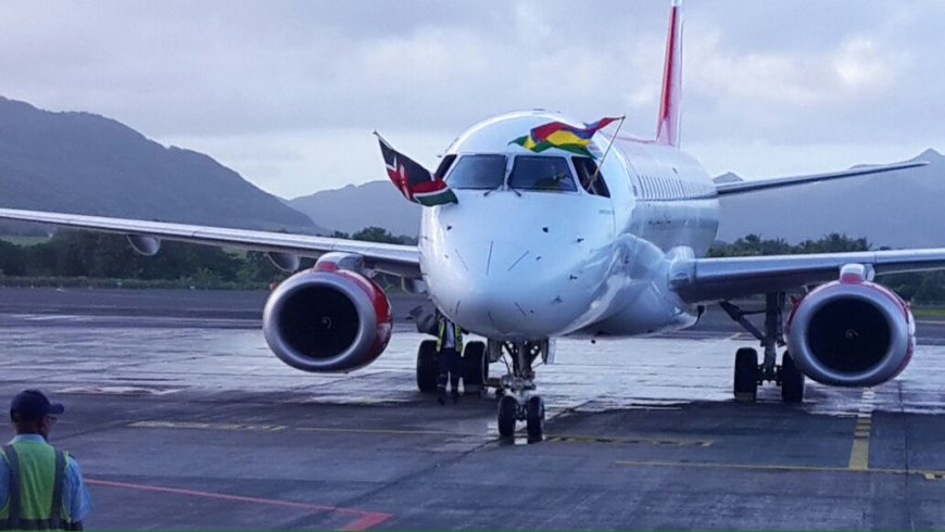
Kenya Airways Immediately Suspends Flights To Mauritius
Mauritius authorities have stated that the cyclone is anticipated to make landfall on the island and could potentially impact neighboring countries.
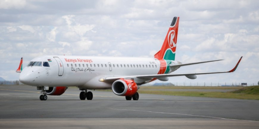
National airline, Kenya Airways (KQ), has announced the temporary suspension of flights to Mauritius, effective immediately.
In a statement, KQ revealed on Thursday, February 27, that the decision was a result of the temporary closure of Sir Seewoosagur Ramgoolam International Airport (MRU) at Plaine Magnien, 48 km southeast of the capital city of Port Louis and the primary international airport serving the island nation.


The airline took note of developments with regard to Tropical Cyclone Class 3, which prompted the government of Mauritius to issue an urgent cyclone alert to its citizens.
"Due to the urgent cyclone warning issued by the government's weather department, we regret to inform our customers that we have temporarily suspended flights to Mauritius, effective immediately. This decision follows the temporary closure of Sir Seewoosagur Ramgoolam International Airport (MRU)," KQ announced in part.
"Tropical Cyclone Class 3 is expected to hit the islands of Mauritius in the Indian Ocean and possibly other neighbouring countries starting today. Mauritius government authorities have issued alerts concerning the cyclone's impact, the duration of which is currently unknown."
Kenya's flagship airline issued an apology to its customers for any inconvenience this may cause and reassured them that their safety and that of KQ's staff is its unwavering priority.
Affected customers are advised to make follow-ups on their travel plans with the airline through the necessary official channels, even as KQ stated that it would notify travellers of any future plans to resume flights to Mauritius.
"Our thoughts are with those who may be affected by these adverse weather conditions. Affected customers are advised to visit our website, Flight Status (Kenya-airways.com), to confirm their new flight schedule or call our Customer Excellence Center via WhatsApp: +254 705 474 747 or X (formerly Twitter) @KQSupport for further assistance," added KQ.
"As this is a developing situation, we are committed to keeping you informed. We will update you as soon as we have any new developments and receive clearance from the authorities to resume flights into Mauritius."
The latest decision affects the four direct flights operating between Kenya and Mauritius every week.
A Tropical Cyclone Class 3 is a storm classification used in Mauritius and nearby regions to indicate that a cyclone is approaching and poses a significant threat. Under this warning level, wind speeds range from 120 kilometres per hour (km/h) to 165 km/h, with the potential for heavy rainfall, strong gusts, and storm surges.
Impact on Flights:
A Class 3 cyclone warning has a major effect on air travel, leading to:
- Flight Cancellations and Delays – Airlines may cancel or reschedule flights due to unsafe flying conditions.
- Airport Closures – Airports may shut down operations if wind speeds exceed safe limits for takeoff and landing.
- Diversions – Flights en route to affected areas may be rerouted to safer airports.
- Passenger Disruptions – Travelers may face extended layovers, rebookings, and accommodation challenges.
Authorities typically issue a Class 3 warning six to 12 hours before the cyclone’s impact, allowing time for precautions. If conditions worsen, a Class 4 warning (very dangerous conditions imminent) may follow, further grounding all flights.